

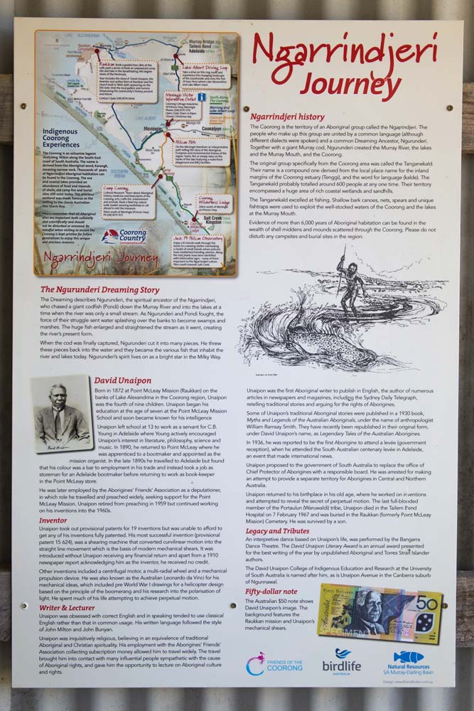

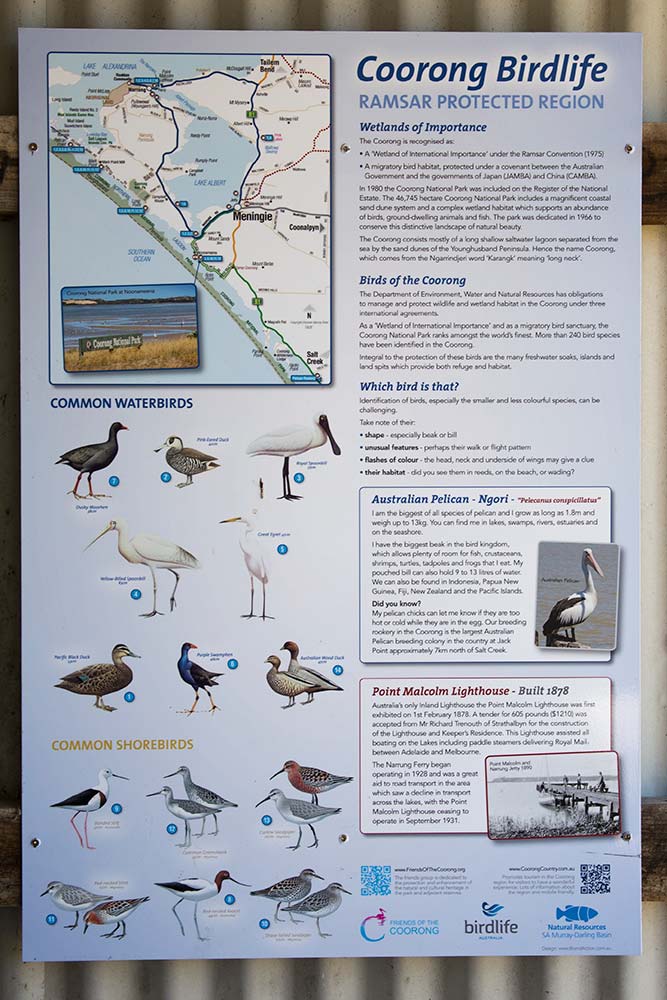

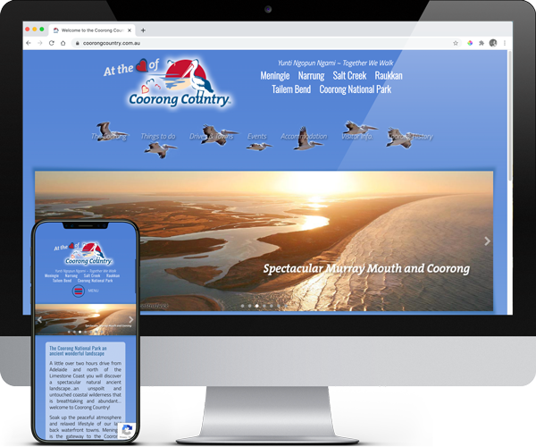
Coorong Country Branding
The Coorong and Meningie region used to be a lost landscape of natural beauty, history and indigenous culture. Developing the Coorong Country brand and supporting the local community has been very rewarding More >
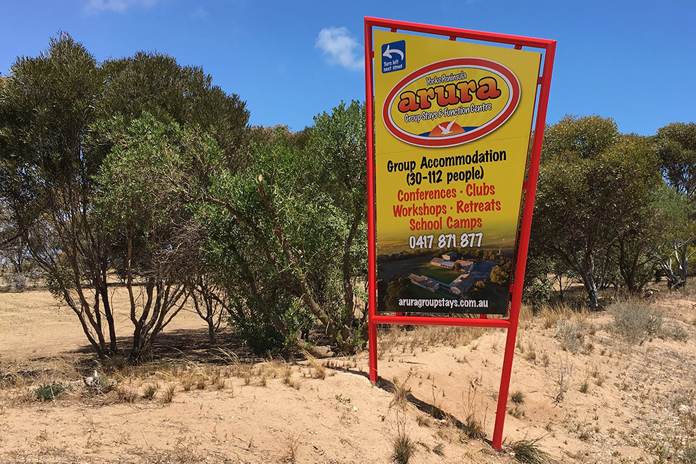
Arura Group Stays Branding
Arura approached me for a rebranding of their accommodation business. Formerly Port Hughes Accommodation Centre we rebranded the name to have more character and many other elements. More >
ARKObots Branding
As a start up ARKObots branding is pitched at the education sector. Fun colours with some stability that shows joy and a modern style. The brand icon allows for diverse application. More >
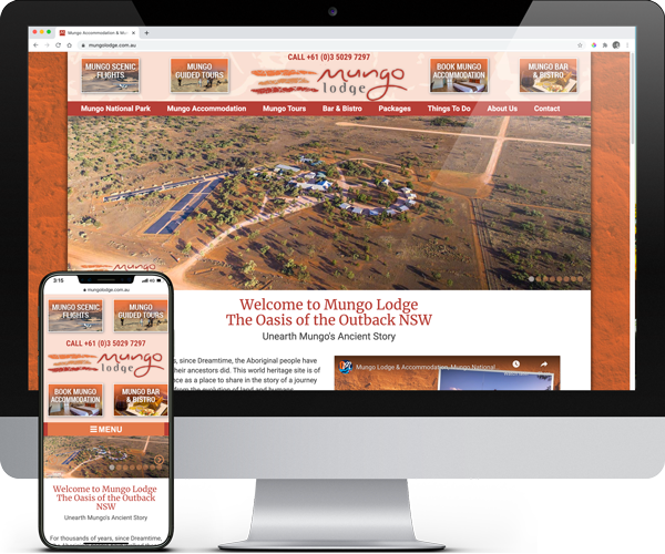
Mungo Lodge & Tours Branding
Mungo Lodge approached me to rebrand their business. This included full re-design, new byline ‘Unearth Mungo Ancient Story’ and brought everything together to tell their unique story of the outback lodge. More >
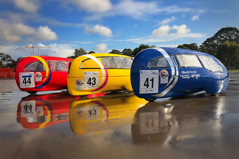
Norwood Morialta Pedal Prix Branding
The pedal prix team at Norwood Morialta High School had an opportunity to use pedal prix to promote the school and improve its image on the track. I developed a brand strategy to take implement the branding. More >
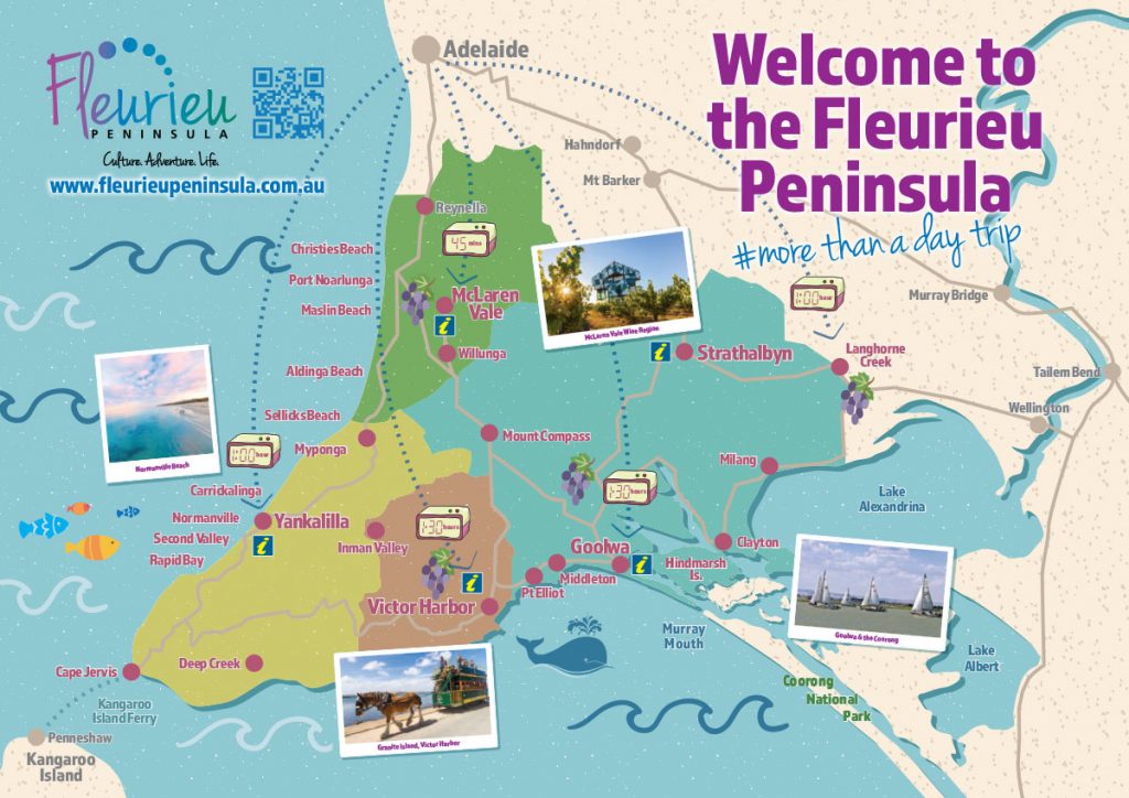
Fleurieu Penisula Tourism Maps
Once I’d worked through the current brand needs of the client we started developing different visual identity elements from both offline to online that aimed to continually build the tourism presence in the region. More >
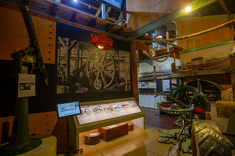
Mannum Museum and Mannum Township
Working with the Mannum Dock Museum of River History and the Mannum community has been very enjoyable. The museum is the heart of tourism in Mannum and is continually working towards improving its presence for visitors. More >
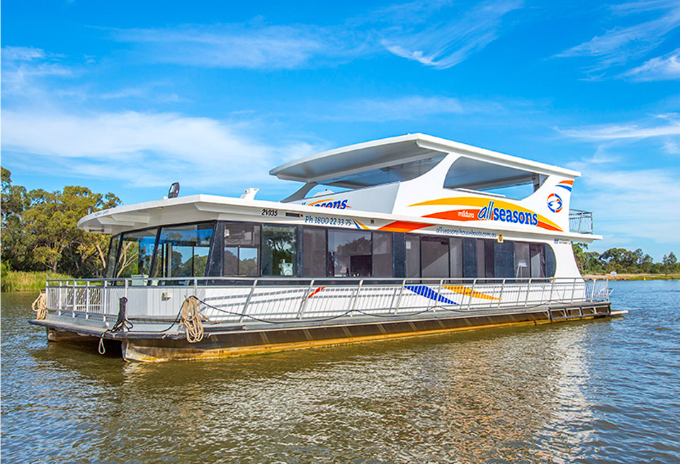
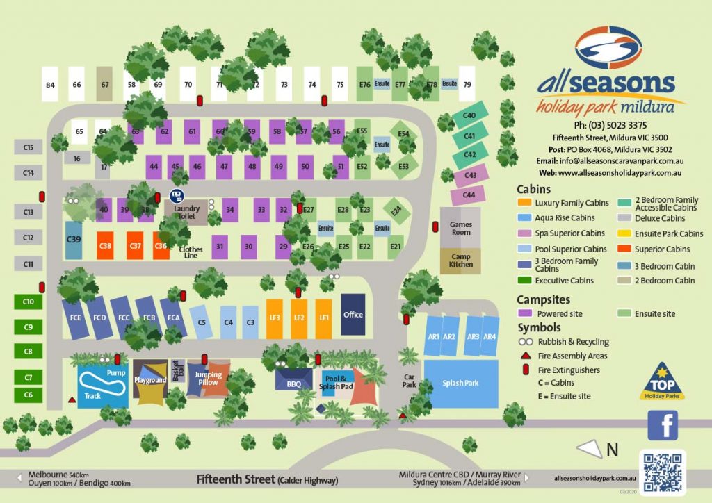
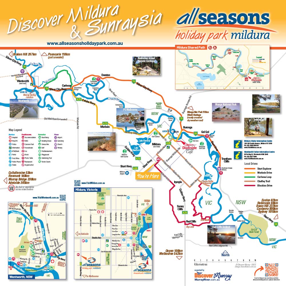
All Seasons Houseboats & Holiday Park Branding
Overseeing the successful brand development for All Seasons Houseboats and Holiday Park in Mildura. More >
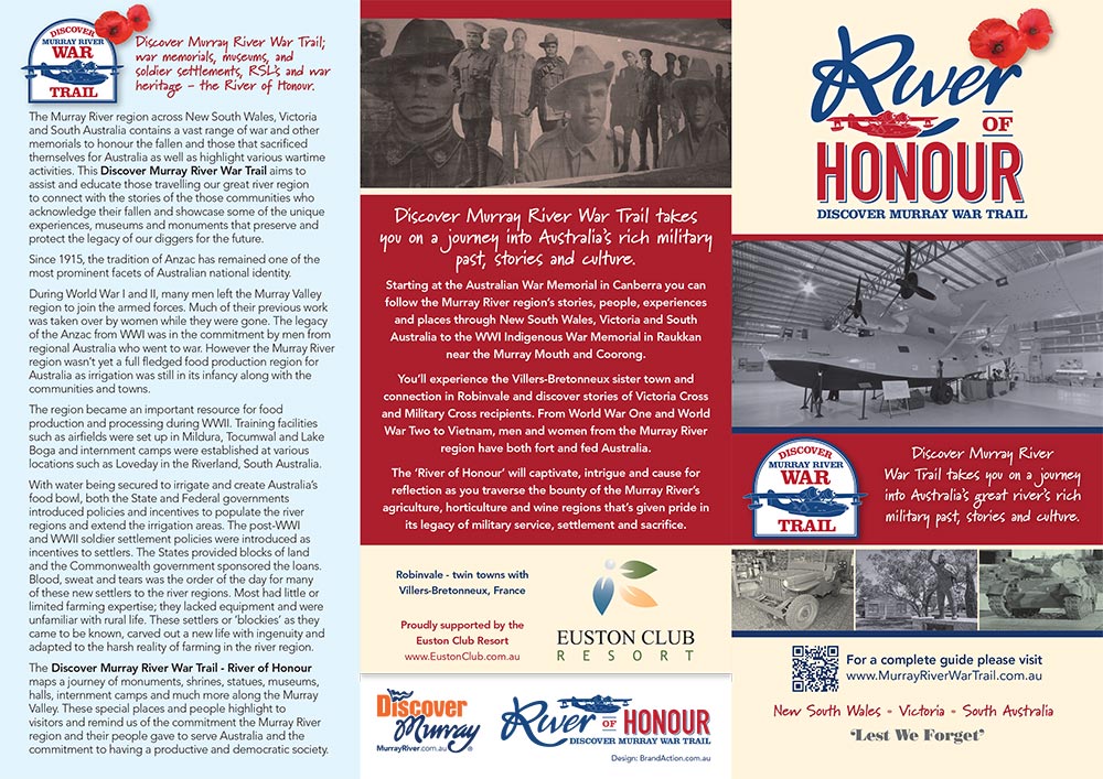
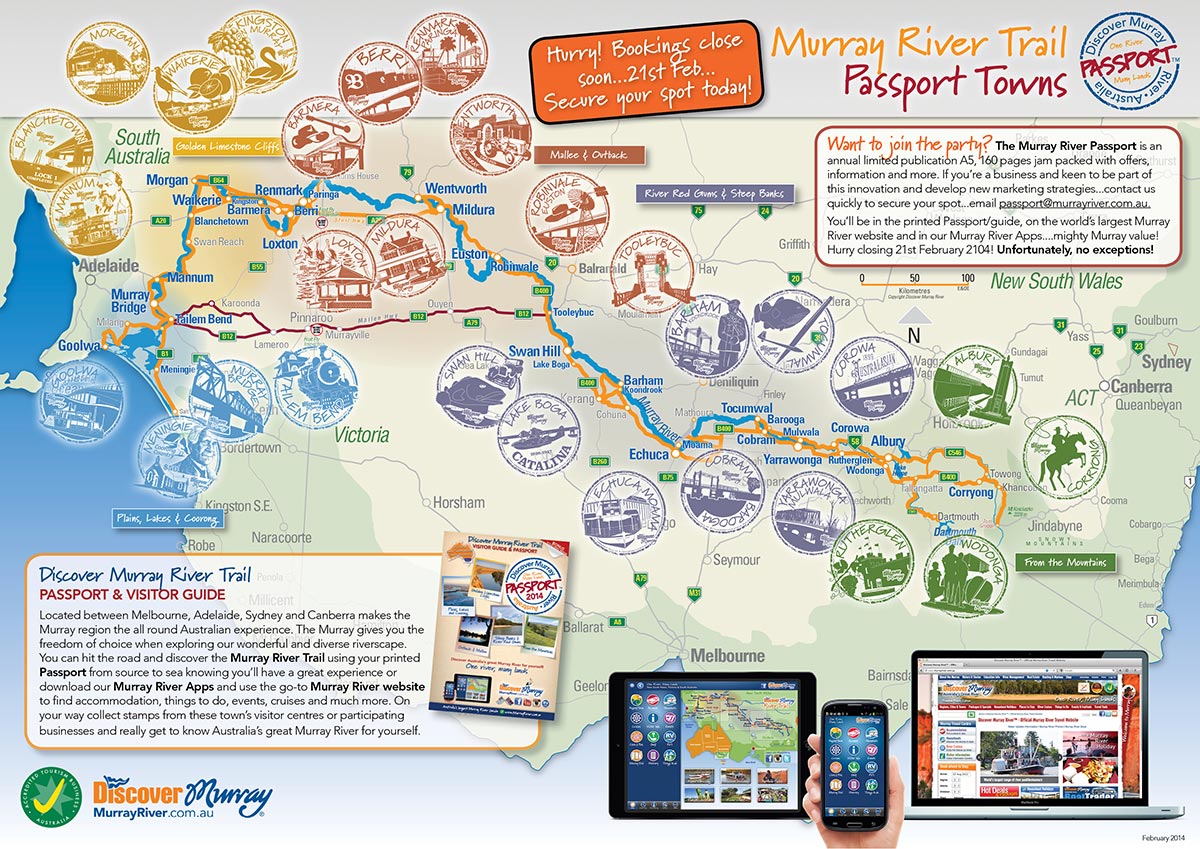
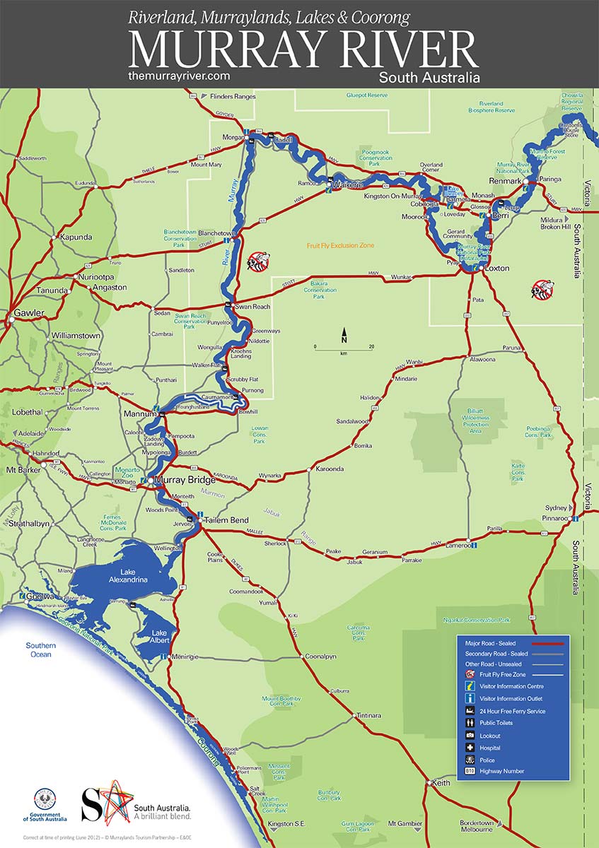
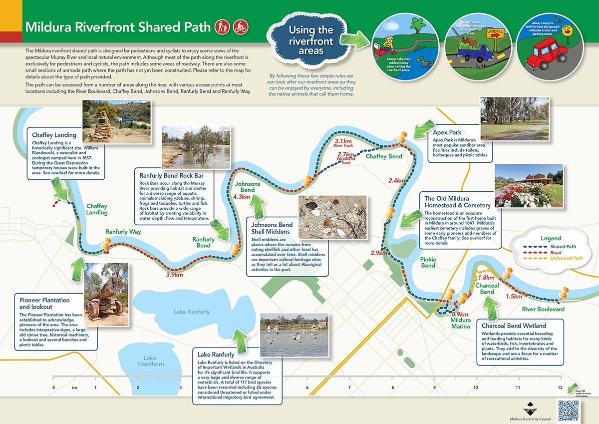
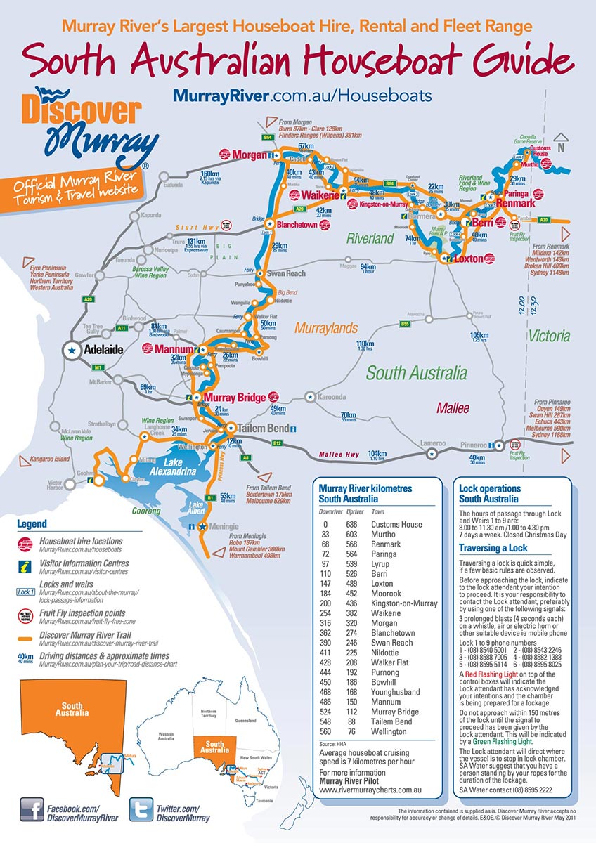
Discover Murray River Branding
Development of a diverse range of visual identity elements from both offline to online that aimed to continually build Discover Murray River’s presence in the region. More >
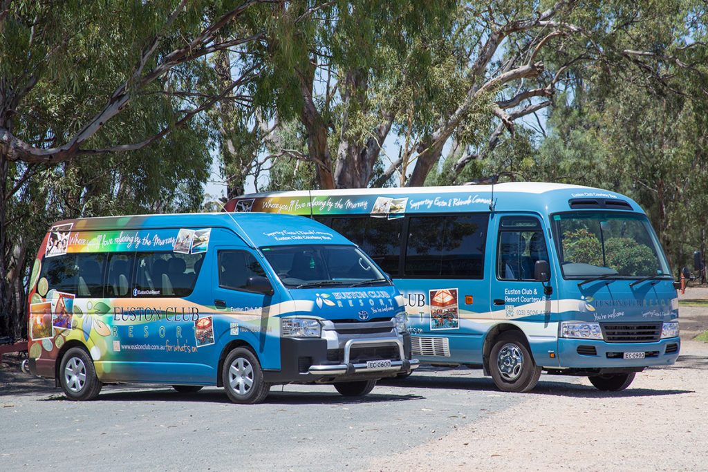
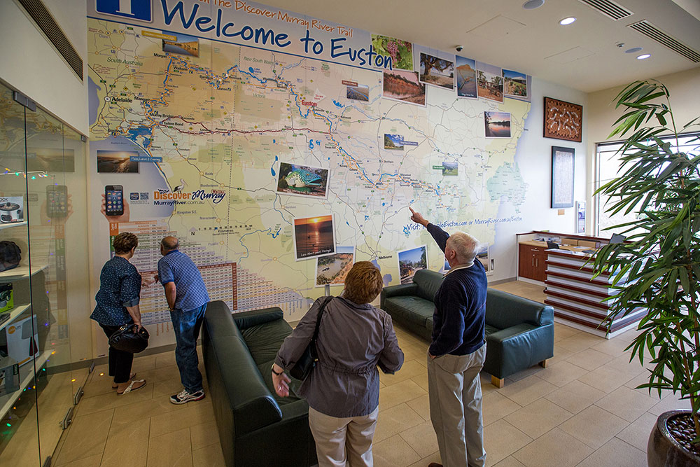
Euston Club Resort Branding
I worked through the club’s brand needs and we started developing different visual identity elements from both offline to online that aimed to continually build the club’s presence in the region and beyond! More >
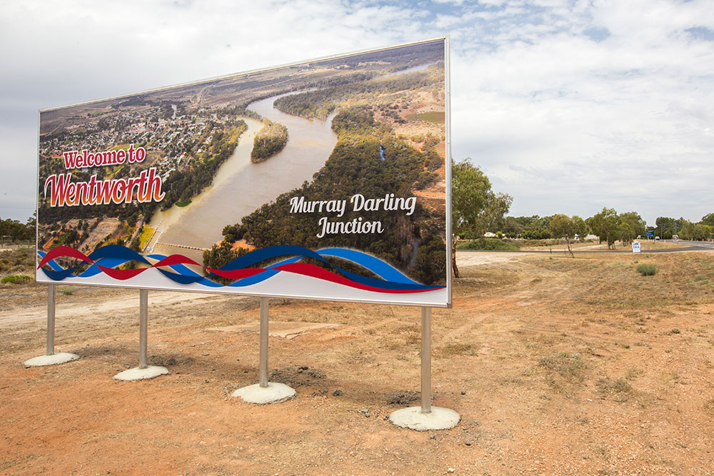
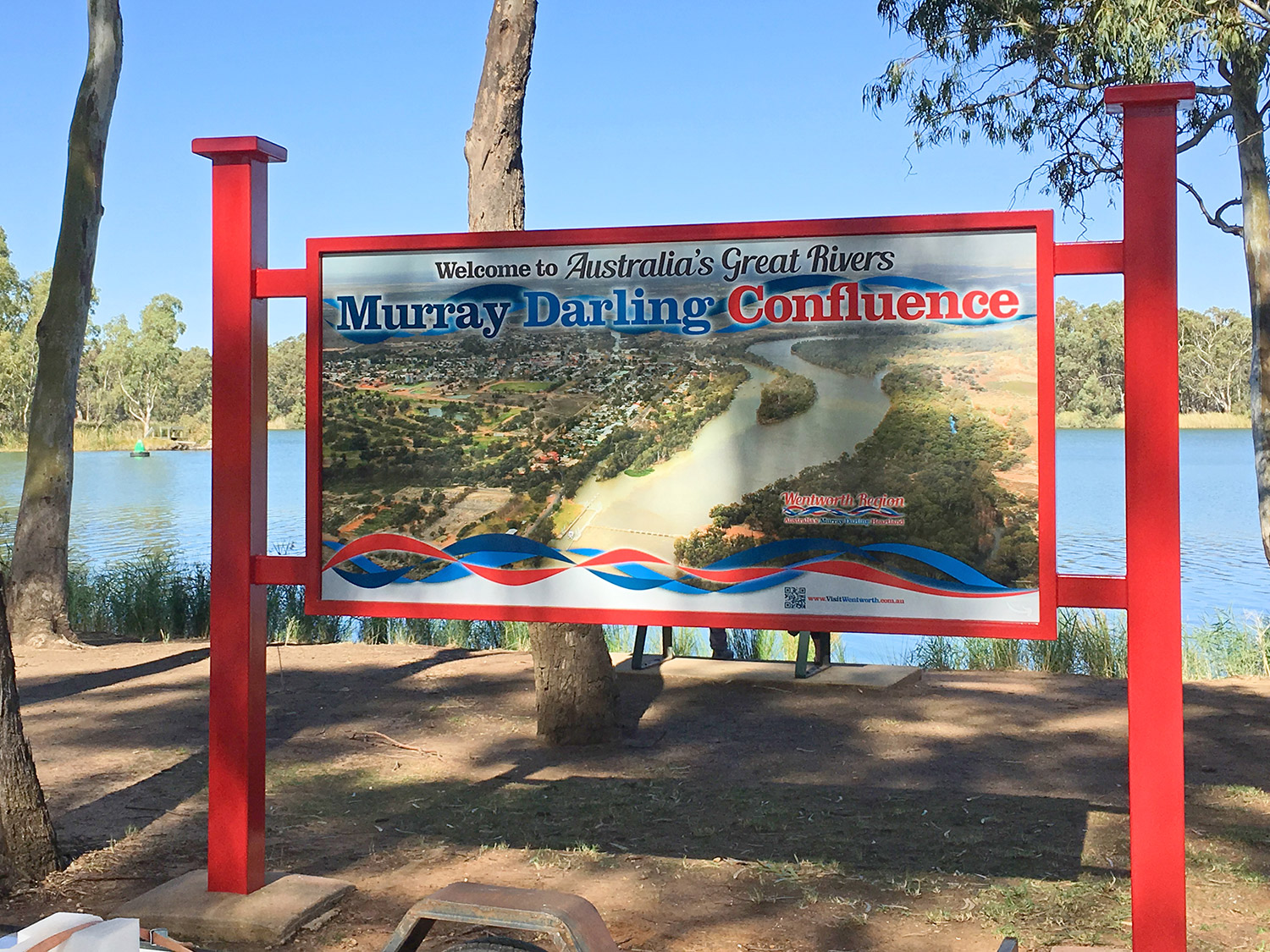
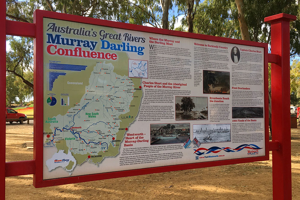
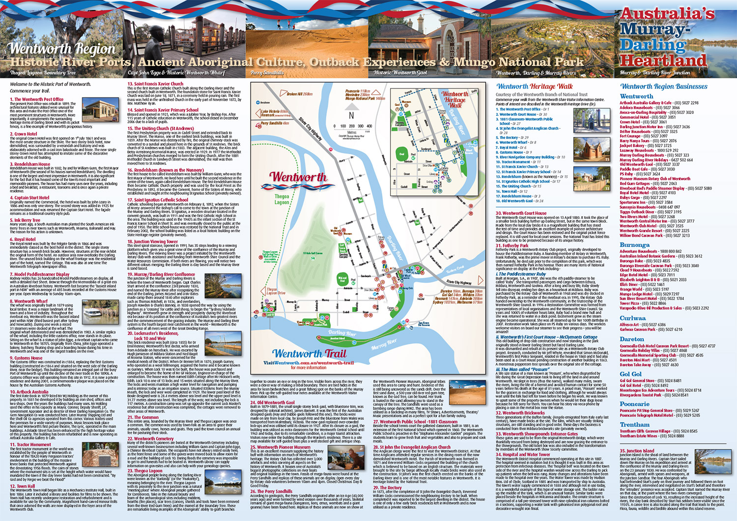
Visit Wentworth Tourism Branding
This tourism marketing strategy was built on 10 core principles. The brand worked for the Shire, community and industry. A brand that can be used across the entire region and a defined point of difference. More >